Langley Satellite Support for Cloud Systems Evolution in the Trades (CSET)
Langley Satellite Support for Cloud Systems Evolution in the Trades (CSET)
Langley Satellite Support for Cloud Systems Evolution in the Trades (CSET)
|
Quick LinksCloud Products
+ Coming soon
Archive
+ Coming soon
Satellite Imagery
+ Coming soon
|
|||||||||


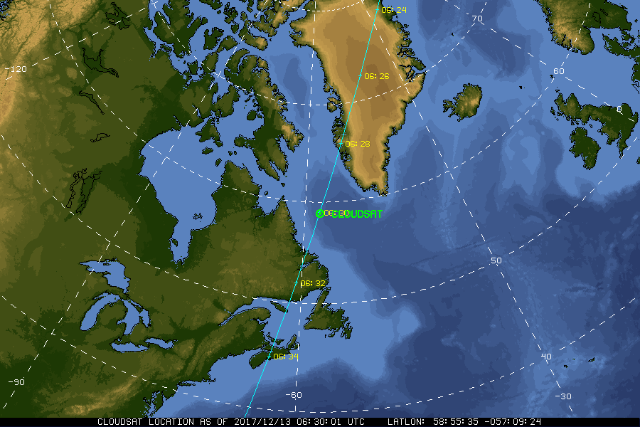
| Current Location of A-Train Satellites (updated every 30 sec) | ||

|

|
|
| A-Train | Calipso | CloudSat |
|
|
NASA Fact
In 1803, a man named Luke Howard used Latin words to categorize clouds. Cirrus, which means "curl of hair," is used to describe high, wispy clouds that look like locks of hair.
- + Freedom of Information Act
- + Budgets, Strategic Plans and Accountability Reports
- + The President's Management Agenda
- + Privacy Policy and Important Notices
- + Inspector General Hotline
- + Equal Employment Opportunity Data Posted Pursuant to the No Fear Act
- + Information-Dissemination Priorities and Inventories
- + USA.gov
- + ExpectMore.gov
- NASA Official: William Smith
- Website Curator: Louis Nguyen
- + Contact Langley
- + Contact Team Members